Image 1 of 15
 Image 2 of 15
 Image 3 of 15
 Image 4 of 15
 Image 5 of 15
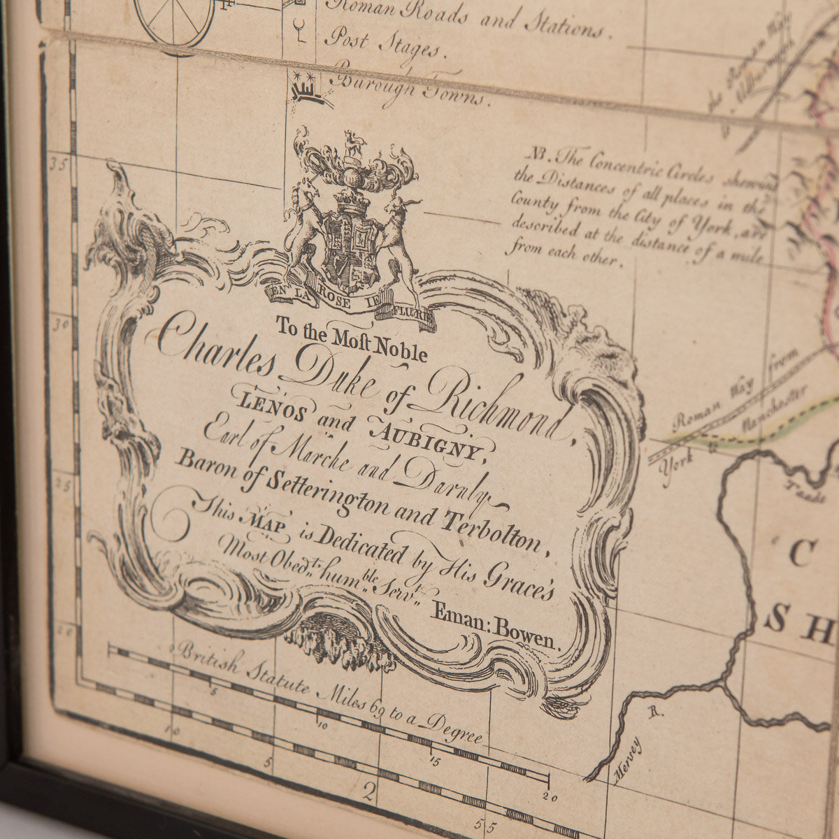 Image 6 of 15
 Image 7 of 15
 Image 8 of 15
 Image 9 of 15
 Image 10 of 15
 Image 11 of 15
 Image 12 of 15
 Image 13 of 15
 Image 14 of 15
 Image 15 of 15
DESCRIPTION
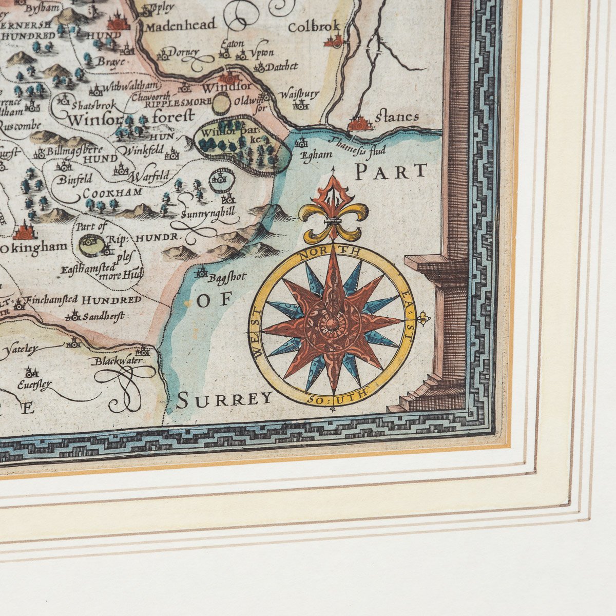
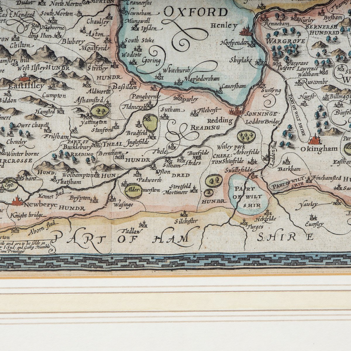
Antique 18th Century British rare and original Emanuel Bowen (1694-1767) map of the County of York divided into its Ridings and subdivided into wapontakes, mounted in solid wood frame with glazed front.
Emanuel Bowen was a Welsh map engraver, who achieved the unique distinction of becoming Royal Mapmaker to both to King George II of Great Britain and Louis XV of France. Bowen was highly regarded by his contemporaries for producing some of the largest, most detailed and most accurate maps of his era.
CONDITION
In Good Condition - Wear as expected with age and comes newly framed. Please refer to photographs.
SIZE
Height: 57.5 cm // 22.64 inches
Width: 74.5 cm // 29.33 inches
Depth: 3 cm // 1.18 inches