 Image 1 of 31
 Image 2 of 31
 Image 3 of 31
 Image 4 of 31
 Image 5 of 31
 Image 6 of 31
 Image 7 of 31
 Image 8 of 31
 Image 9 of 31
 Image 10 of 31
 Image 11 of 31
 Image 12 of 31
 Image 13 of 31
 Image 14 of 31
 Image 15 of 31
 Image 16 of 31
 Image 17 of 31
 Image 18 of 31
 Image 19 of 31
 Image 20 of 31
 Image 21 of 31
 Image 22 of 31
 Image 23 of 31
 Image 24 of 31
 Image 25 of 31
 Image 26 of 31
 Image 27 of 31
 Image 28 of 31
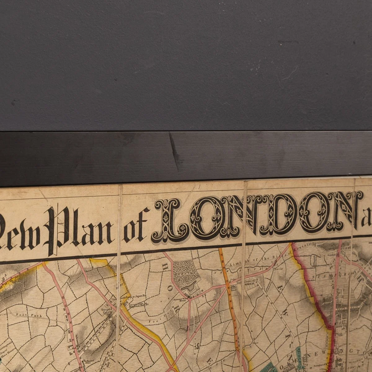 Image 29 of 31
 Image 30 of 31
 Image 31 of 31
CONDITION
In Good Condition - Wear as expected with age. Please refer to photographs.
SIZE
Height: 132 cm // 51.97 inches
Width: 148 cm // 58.27 inches