Image 1 of 13
 Image 2 of 13
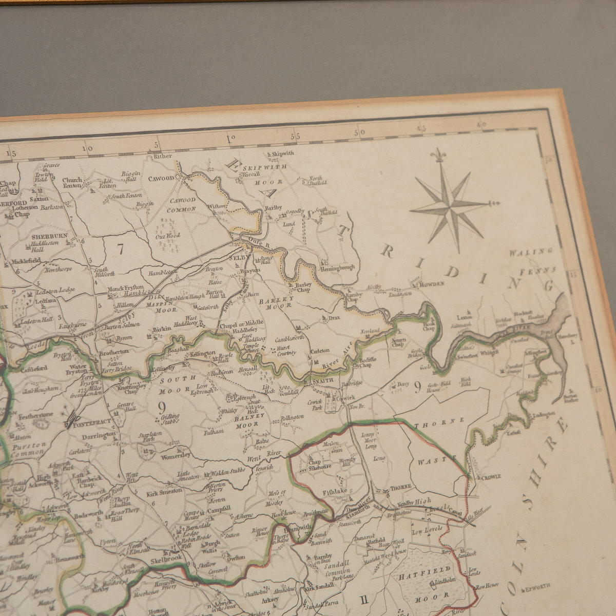 Image 3 of 13
 Image 4 of 13
 Image 5 of 13
 Image 6 of 13
 Image 7 of 13
 Image 8 of 13
 Image 9 of 13
 Image 10 of 13
 Image 11 of 13
 Image 12 of 13
 Image 13 of 13
DESCRIPTION
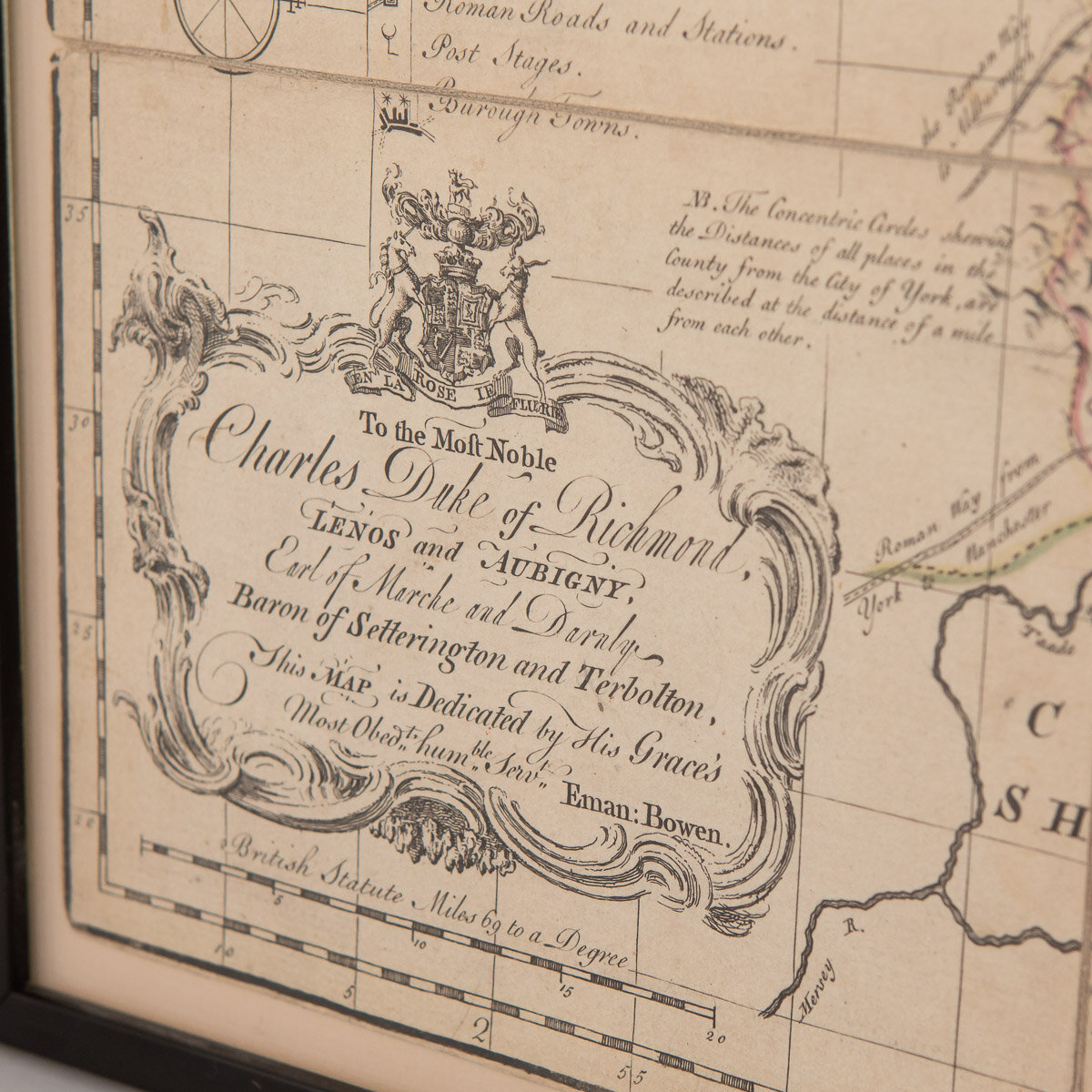
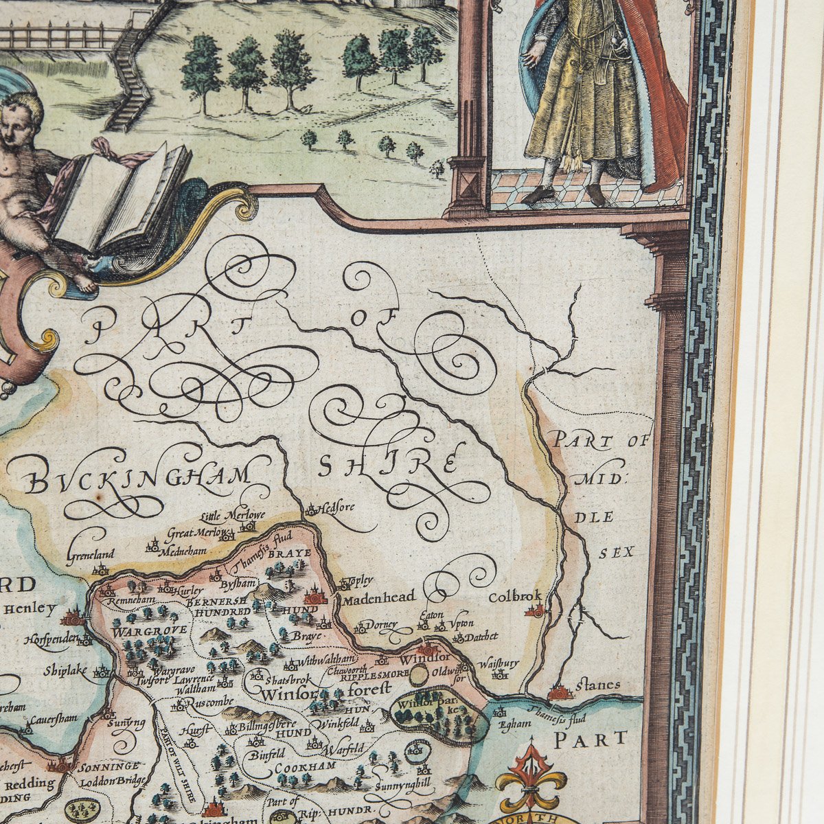
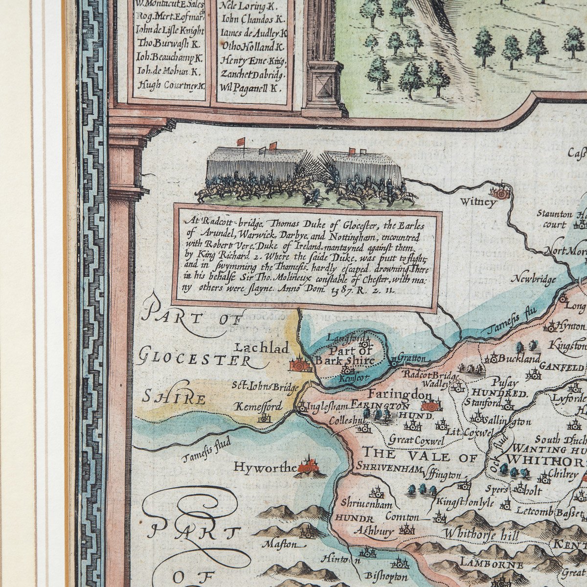
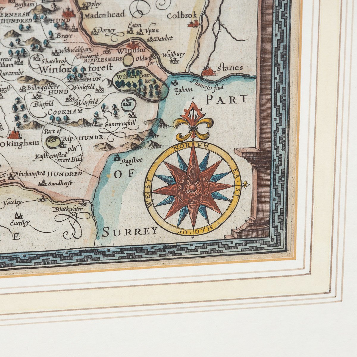
Antique 19th Century British original John Cary sr (1755-1835) map of South part of the West Riding of Yorkshire, From the beft Authorities. Engraved J Cary, published by John Stockdale, Piccadilly, 26th March 1805, mounted in solid wood frame with glazed front. John Cary sr. was described by his biographer, George Fordham as “The most prominent and successful exponent of his time… the founder of what we may call the modern English school [of mapmaking]”
CONDITION
In Good Condition - Wear as expected with age and comes newly framed.
SIZE
Height: 46 cm // 18.11 inches
Width: 65 cm // 25.59 inches
Depth: 2 cm // 0.79 inches